


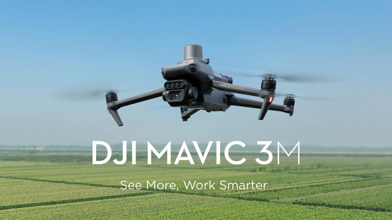
Description
Precision Imaging with Every Pixel
The Mavic 3M, equipped with an RTK module, delivers centimeter-level positioning for unparalleled accuracy. Its flight control system, camera, and RTK module synchronize within microseconds, ensuring precise geotagging of each image. This advanced integration allows for high-precision aerial surveying without the need for ground control points, streamlining data collection with maximum efficiency.
Long-Lasting Power for Max Efficiency
With an impressive 43-minute cruise time, the Mavic 3M covers up to 200 hectares in a single flight, making large-scale mapping operations faster and more efficient. The 100W Battery Charging Hub ensures high-speed, multi-battery charging, while the 88W fast charging capability keeps the drone ready for extended missions with minimal downtime.
Reliable Connectivity, Seamless Image Transmission
The advanced O3 transmission system utilizes dual transmitting signals and four receiving signals, ensuring ultra-stable connectivity and smooth image delivery. With an impressive 15km transmission range, operators can maintain clear, real-time visuals even over long distances.
Intelligent Obstacle Avoidance & Terrain-Following Precision
Equipped with wide-FOV vision sensors, the Mavic 3M ensures omnidirectional obstacle sensing, detecting obstacles from all directions for safer flights. Its terrain-following aerial surveying capability allows for seamless operation even in steep and uneven landscapes, ensuring accurate data collection in challenging environments.
Precision Orchard Mapping for Smarter Farming
The Mavic 3M enables terrain-follow aerial surveying of orchards, even on sloped landscapes, ensuring accurate data collection in challenging environments. When paired with DJI Terra or DJI SmartFarm Web, it can generate high-resolution orchard maps, automatically count trees, differentiate them from other obstacles, and create 3D operation routes for agricultural drones—enhancing efficiency and safety in orchard management.
Mavic 3M Aerial Mapping & Precision Agriculture
Leverage DJI Terra or DJI SmartFarm Web for advanced mapping and 3D route generation, enabling seamless agricultural drone operations for efficient and accurate field management.
Optimize Crop Management with Variable-Rate Applications
The Mavic 3M captures multispectral images of crops, providing essential data for rice fertilization, cotton growth regulation, and potato foliar spraying. Using DJI Terra or DJI SmartFarm Web, users can generate NDVI and other vegetation index maps to assess crop variability and create precision prescription maps. This enables agricultural drones to execute targeted variable-rate applications, reducing costs, increasing yields, and promoting sustainable farming practices.
Smart Field Scouting for Efficient Crop Management
The Mavic 3M enables automated field scouting, capturing real-time images and uploading them to DJI SmartFarm Web via a 4G network. It quickly detects emergence deficiencies, weed pressure, and crop lodging, ensuring timely intervention. With AI-powered analysis, it can identify cotton seedlings, assess rice production, and provide real-time crop growth insights. This technology streamlines agronomic decision-making, allowing a single operator to efficiently manage up to 70 hectares of farmland.
Mavic 3M Aerial Surveying for Precision Farming
Utilizing DJI SmartFarm Web, the Mavic 3M generates prescription maps for cropland, enabling agricultural drones to perform targeted and efficient farming operations.
Mavic 3M Aerial Mapping & Precision Agriculture
Leverage DJI Terra or DJI SmartFarm Web for advanced mapping and 3D route generation, enabling seamless agricultural drone operations for efficient and accurate field management.
Environmental Monitoring and Natural Resources Survey
The Mavic 3M is ideal for conducting environmental and natural resource surveys, including water quality monitoring, forest distribution mapping, and urban green space assessments, among other applications.

Reviews
There are no reviews yet.