High-Tech Farming from Sky to Space: Drones and LandSAT Help Oregon’s Wheat Growers Get Ahead


Published in South Wasco Times, August 2025, written by Tom Penberthy, Columbia Gorge Community College
Across the country, advanced imaging has begun to reshape agriculture. In Clarno, Oregon, Columbia Gorge Community College’s (CGCC) Unmanned Aerial Systems (UAS) Program is partnering with the OSU Extension Service on a project that draws together the power of both drones and satellites to monitor wheat health with unprecedented precision.
Integrating Technologies for Smarter Farming
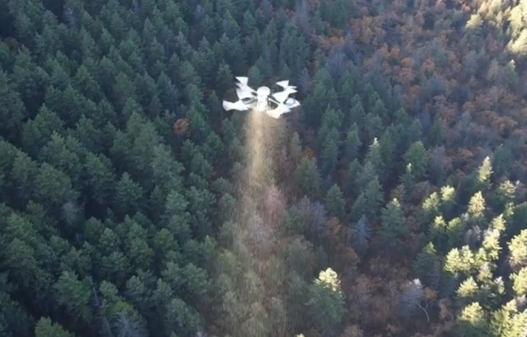
For this project, small drones equipped with multispectral and thermal sensors survey a local, 30-acre wheat field a total of ten times over a 3-week period. Their imaging systems capture fine-grained details, revealing differences in plant health and water stress invisible to the naked eye. At the same time, on the same days, an overhead LandSAT satellite—part of a long-running NASA and U.S. Geological Survey (USGS) program—captures its own thermal image of the exact field.
By intentionally flying the drone missions during a LandSAT overpass, the thermal data sets can be directly compared by OSU researchers. Drones deliver ultra-high-resolution, field-level snapshots, while LandSAT offers broader landscape scale imagery taken from about 438 miles up. OSU will use the detailed drone data to calibrate the satellite’s imagery, improving the accuracy of the LandSAT sensors to assist agricultural work here in Oregon.
The Power of Multispectral and Thermal Imaging
Plants interact with light in complex ways. Multispectral sensors, which gather data from bands across the visible and near-infrared spectrum, make it possible to calculate indices like NDVI (Normalized Difference Vegetation Index). These indices reveal subtle signs of crop stress, such as reduced chlorophyll or water deficit, before visible wilting occurs. Thermal cameras complement this view by highlighting temperature variations across the field, which often correlate with irrigation, soil moisture differences, or plant transpiration rates.
Combined, these imaging tools provide actionable insights by helping farmers pinpoint areas showing early signs of drought or nutrient deficiency, detect disease or pest outbreaks more quickly, guide the precise application of irrigation, fertilizers, or pest control, and improve both yield forecasting and overall field management.
About the LandSAT Program
Since 1972, NASA and USGS-funded LandSAT satellites have provided continuous, calibrated imagery of the Earth’s land surfaces. The mission’s long history and consistency give it a unique value, supporting resource management, research, and agricultural monitoring worldwide. With scenes spanning over 100 miles, LandSAT imagery delivers context for understanding large-scale patterns—soil moisture trends, crop rotation, and ecosystem change.
The OSU Extension Service
The OSU Extension Service brings research-driven knowledge to every part of Oregon, empowering communities to strengthen their local economies and manage natural resources sustainably. Their mission is to ensure rural communities—like those in Clarno and greater Wasco County—benefit from the latest advances in science and technology, and to connect resources with those who work the land every day.
CGCC’s UAS Program: Training the First Generation of Ag Drone Pilots
Columbia Gorge Community College’s Unmanned Aerial Systems (UAS) program is designed to give local students and community members access to the skills they need in this fast-evolving field. As drone technology becomes more common in agriculture, the need for licensed pilots who understand both the technical and practical sides of the work—especially in a farming context—is growing rapidly.
CGCC offers hands-on training in drone operation, flight planning, data collection, and image analysis, with an emphasis on real-world agricultural applications. Through partnerships with organizations like the OSU Extension Service, students get opportunities to see firsthand how drones are being used to monitor crops, assess field conditions, and support more precise farming.
Our goal is to help fill a regional opportunity by preparing students to be FAA-certified drone pilots with the agricultural knowledge and experience to meet the needs of local growers and researchers.
Why It Matters for Growers
Bringing together drone and satellite imagery supports better, more data-driven farm management. Precise problem detection means resources can be focused where they’re needed most, increasing efficiency and reducing waste. And with the OSU Extension Service providing outreach and training, this technology becomes more accessible to growers across the region.
The future of agriculture is high-resolution, collaborative, and community-focused—grounded in local expertise, integrating proven science and appropriate technology.